![]() – Lonato del Garda
– Lonato del Garda
CAI 803 PATH
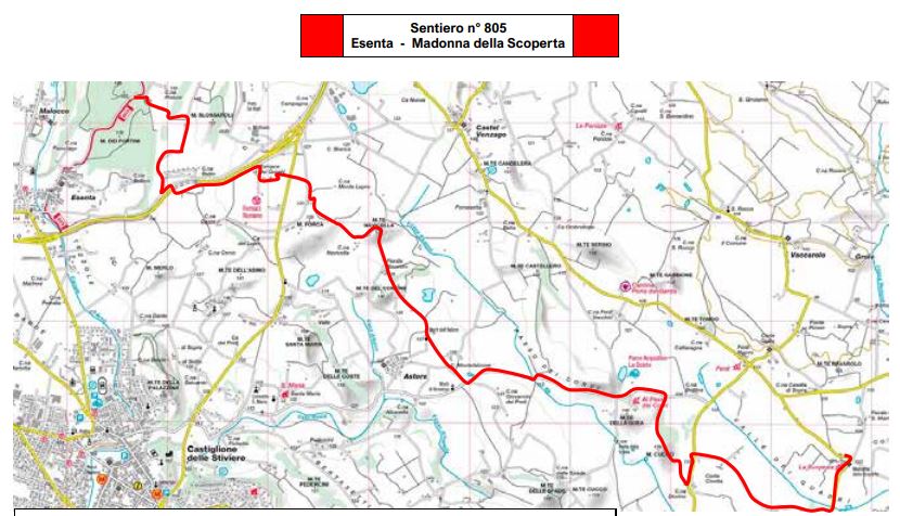
Lonato – Esenta
8.7 km – Travel time: 2 hours and 40 minutes
The route, starting from the center of the town of Lonato del Garda (Madonnina car park) goes beyond the railway line and heads to the Polada wetland area. From there it continues to the hamlet of San Cipriano, full of ditches and characteristic wash houses. We then pass south of the A4 Milan-Venice motorway going up the wooded hill called the Spia d’Italia, a strategic lookout point in the battle of San Martino and Solferino. Here Vittorio Emanuele II and Napoleon III met the day before the battle to view the terrain that would be the scene of bloody clashes (24 June 1859).
You then reach the hamlet of San Tomaso and continue south along Mount Nuvolo, then along the dirt road of the valley up to the center of the town of Esenta, in the small square in front of the church.
Continuing south you connect to the CAI trail network of Castiglione delle Stiviere and following the ridge of the Morainic Hills of the upper Mantua area you reach Solferino with another 3 hours of walking.
Good to know
Click a TAG for similar articles


