1
NATURE
THE LANDSCAPE PATH
The fortresses, the historic buildings, the river, the park and the cycle paths
The morainic amphitheater of Garda extends into the provinces of Mantua, Brescia and Verona and the glacial deposits that constitute it are attributable above all to the last Quaternary glacial advance, called Würm, which occurred in the last phase of the Upper Pleistocene and ended around 10,000 years ago. The definitive retreat of the ice, which occurred between 10,000 and 8,000 BC, favored the first stable human settlements in the morainic territory, even if significant archaeological traces date back to the Neolithic age (6th/5th millennium BC – end of the 3rd millennium BC). . The knowledge and use of copper led to a profound cultural transformation, which culminated between 2,200 and 2,000 BC. (ancient Bronze Age), in the birth of the first pile-dwelling villages in the lake basins existing in the intra-morainic basins. A new change occurred around the 16th century. BC, when many settlements on stilts were abandoned and others were transformed or transferred by reclaiming marshy surfaces.
With the end of the Bronze Age the hilly area – which had one of the highest population densities in the whole of northern Italy – began to depopulate, perhaps due to persistent unfavorable environmental conditions.
It was only with the arrival of the first Celtic populations, who settled in Italy around 388 BC. (late Iron Age) that the moraine territory was revitalized. The presence of the Cenomans, faithful allies of the Romans, favored the process of peaceful Romanization of the area, which took place between the end of the 1st century. B.C. and the beginning of the 1st century. A.D. according to a settlement scheme no longer divided into villages, but into a dense network of agricultural holdings (rustic villas), which were characterized by a very long continuity of use. In moraine landscapes, hilly forms prevail, but there are numerous forms connected to other morphogenetic processes such as the plains that separate adjacent moraine circles and lake basins. The morainic hills of Garda are therefore characterized by extremely variable landscapes, in which all the morphological environments typical of the moraine area are represented, such as the most raised areas of the moraine cords, the sunken areas of the intra-morainic valleys, the incisions dug by the erosive action of the glacial torrents and the terraced surfaces of the Mincio river.
The proximity to Lake Garda, mitigating the rigors of the Po Valley climate, has favored the establishment in the local flora of Mediterranean elements which have been added to the mountain ones, which remained in the area after the retreat of the glaciers. Hence the great botanical interest of spontaneously vegetation environments. Here you can find the true jewels of the moraine flora, for their rarity and beauty.
The Mincio river cuts perpendicularly to the morainic amphitheater and gives the landscape a particular imprint due to the millenary shaping action carried out by the course. In the upper section the valley is narrow and the most characterizing element is made up of the traces of an ancient path of the river that passes the town of Ponti sul Mincio. The Mincio river, emissary of Garda, is the most conspicuous of the water elements in the hilly area which it crosses from North to South. Its deep riverbed testifies to its role as the greatest discharger of the Benaco glacier during the glacial eras: today it flows with elevations that in some sections are 18 meters lower than the neighboring terraces before taking on, further downstream, the typical appearance of a lowland river.
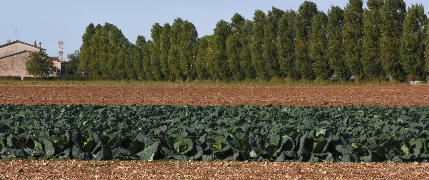
On the steepest moraine reliefs, spontaneous vegetation prevails (woods and arid meadows) with the presence of species that differ depending on the soil, the humidity of the place and the exposure of the slopes. In moderately sloping areas, cultivated fields (orchards, vineyards, arable and forage crops) prevail, often delimited by hedges. The arid meadows take us back to an ancient aspect of the hilly landscape. On these slopes, the summer drought gives rise to conditions of marked aridity in both the atmosphere and the soil. The typical flora, extremely specialized, is made up of individuals adapted to the peculiar and difficult ecological conditions.
In these strips of meadow, made up of perennial herbaceous plants dominated by grasses, some of the most interesting flowers of the Mantua moraine hills grow; the splendid blooms begin in the month of February with the snowdrops, culminate in the spring and summer months and continue until the autumn months with the various species of bluebells and asters that color these unusual slopes.
The herbaceous cover is embellished with a rich presence of species of spontaneous Orchids: thirty-two species belonging to this family have been recorded, distributed among woods and meadows, of which twenty-one are linked exclusively to arid prairies. The names of the most common species of arid meadows evoke the aridity and stonyness of the places, such as the potentilla (Potentilla tabernaemontani) and the stone-breaking carnation (Petrorhagia saxifraga).
In Monzambano, on the left bank (C.na Mottelle), the river terraces begin, i.e. those plains resulting from the accumulation of alluvial materials, which accompany the Mincio up to its confluence with the Po. Here are found the wetlands, born in correspondence with depressions, once occupied by lakes, which have progressively reduced until they disappeared due to natural siltation or reclamation interventions carried out by man. Small lakes have formed in some old peat bogs and the most significant lake mirror is represented by the heart-shaped lake of Castellaro Lagusello. In the lowest part of our territory, near Volta Mantovana (Paradiso locality), the high gravelly plain can be observed and the impressive erosive-depositional action carried out by the Mincio in creating two of the best preserved river terraces is evident: that of the “Bassa dei Bonomi” and that of “Ferri-Falzoni”. A landscape element that characterizes the gravelly plain at the foot of the moraine hills is made up of the small valleys dug by the melting waters of the glacier, located near Castiglione delle Stiviere, Grole, Solferino, Cavriana and Montagnoli and Gatti di Volta Mantovana.
1.1
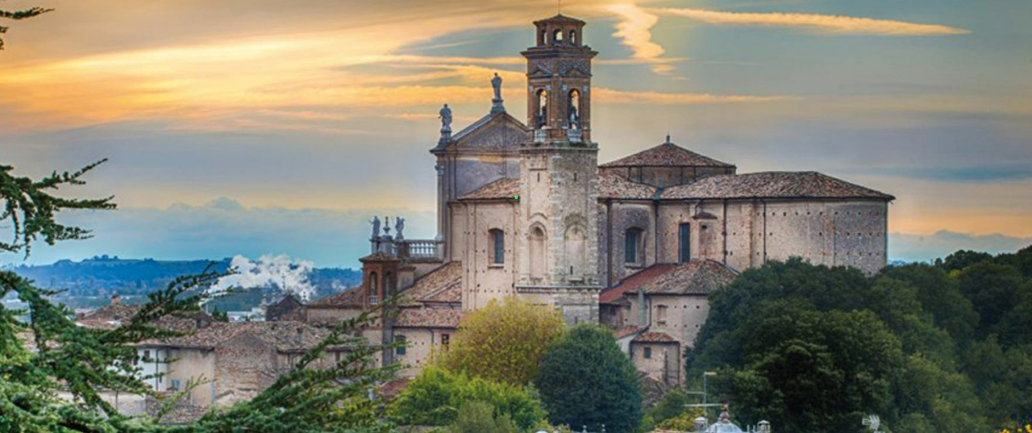
the villages
the monumental route. Discovering the urban forms that characterize the villages of the Ecomuseum of Peace
The definitive retreat of the ice, which occurred between 10,000 and 8,000 BC, favored the first stable human settlements in the morainic territory, even if significant archaeological traces date back to the Neolithic age (6th/5th millennium BC – end of the 3rd millennium BC).
1.2
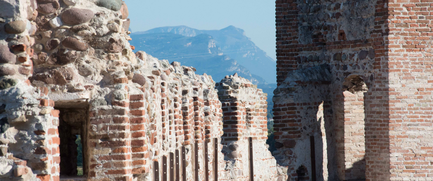
the fortifications
Even today the Mincio constitutes a sort of hinge between Veneto and Lombardy and in the territories along and close to its course many of the military works carried out continuously from the Middle Ages to the present day remain.
1.3
the river and the park: places of biodiversity
The morainic amphitheater of Garda extends into the provinces of Mantua, Brescia and Verona. In moraine landscapes, hilly forms prevail, characterized by extremely variable landscapes. The Mincio river cuts the morainic amphitheater perpendicularly and gives the landscape a particular imprint due to the millenary shaping action carried out by the course.
1.4
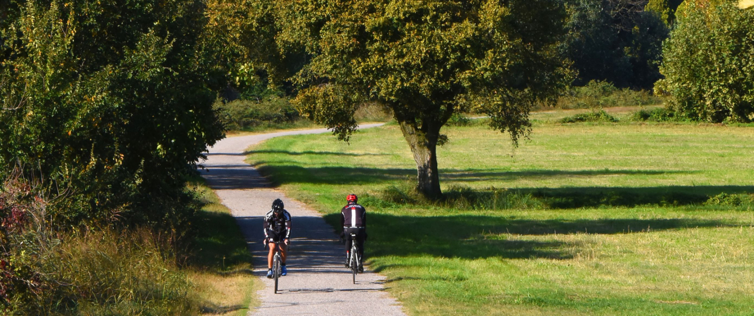
the cycle paths
The area of the morainic hills of Garda is crossed by 4 main cycle paths which wind along the natural borders of the area. Significant MTB competitions are organized in the area, in particular the South Garda bike and the South Garda road, which has become the “Gran Fondo Colnago” in Desenzano.

